
Living in West Whitby: A Neighbourhood Guide for Buyers
Explore newer West Whitby homes around Whitby Meadows, Coronation Road and Des Newman Boulevard, plus parks, school growth and construction trade-offs.

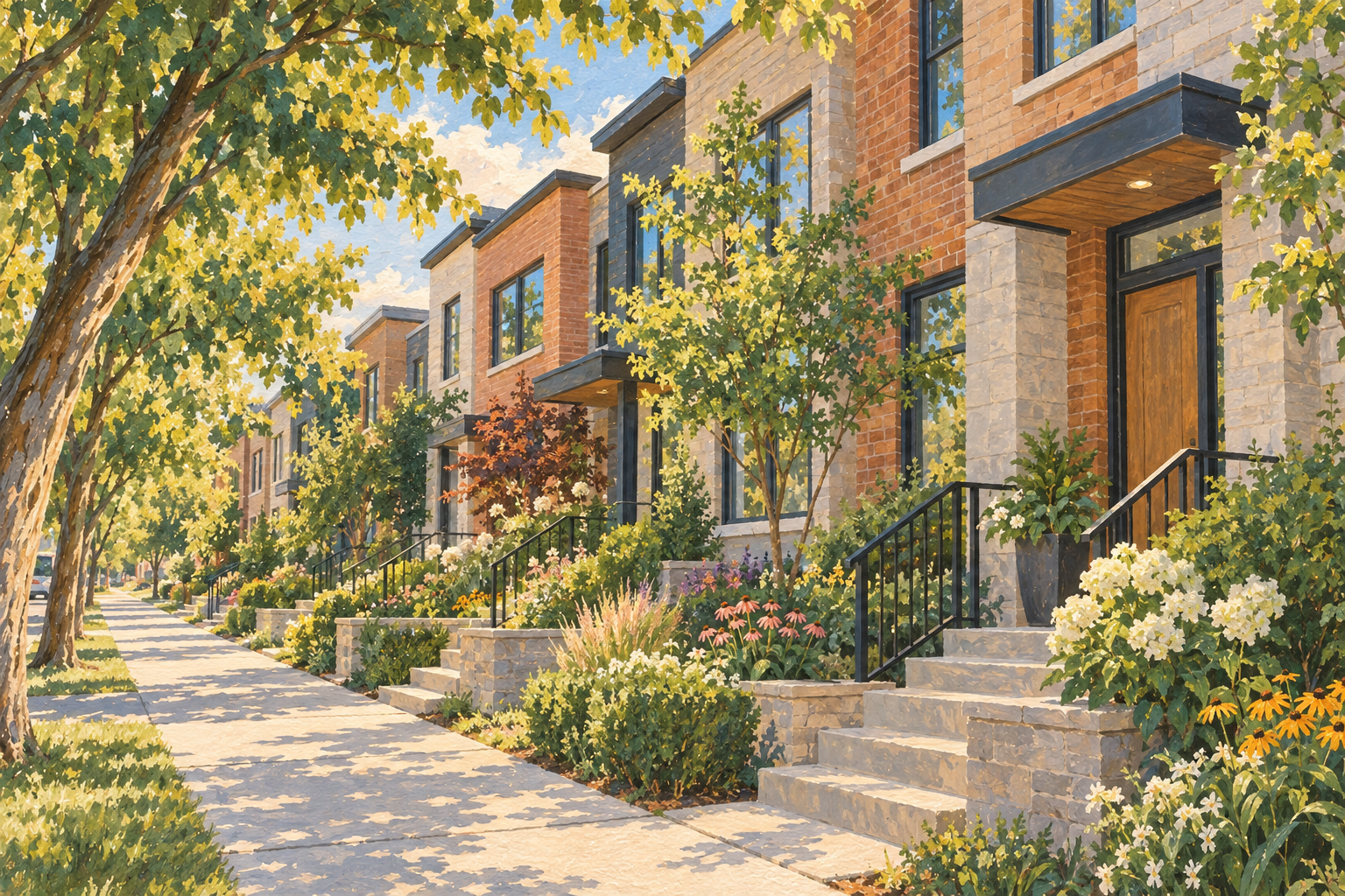
West Whitby includes newer residential pockets around Coronation Road and Des Newman Boulevard, including Whitby Meadows. Many homes here still use the “Rural Whitby” listing label, even though the setting is a newer two-storey house, sidewalks and a neighbourhood park rather than a country property.
West Whitby is a more familiar way to describe these newer residential pockets, including Whitby Meadows. Detached homes, semis and townhouses are filling out the streets as parks and schools grow alongside them, giving this part of town a character quite different from Whitby’s northern hamlets.
What I mean by West Whitby
This guide covers the newer residential pockets around Dundas Street West and Rossland Road West, following the Coronation Road and Des Newman Boulevard corridors and including Whitby Meadows. Lake Ridge Road lies to the west, with the older built-up neighbourhoods and Lynde Creek lands toward the east.
It’s a local description of the area covered here, rather than a newly drawn TRREB boundary. The broader municipal West Whitby planning area reaches farther north and south, and doesn’t match a single listing community either.
In a home search, many of these newer properties still appear under Rural Whitby. Some nearby southern pockets use the Lynde Creek label. That wording can put very different homes beside one another in search results: a recent subdivision home and a country property may both carry the word “rural.”
Whitby Meadows is one of the recognizable community names around Rossland and Coronation. It’s part of the wider West Whitby picture, not a name for every development west of the older neighbourhoods.
Homes from the late 2010s onward
Much of the newer West Whitby housing reflects the building wave that began in the late 2010s and continued through the 2020s. Subdivision construction in the municipal West Whitby area began in 2018, and the communities have developed in phases since then.
The housing mix includes detached homes, semi-detached houses and townhouses. In Whitby Meadows, multiple builders have offered different lot widths and floor plans, so there’s more variety than one builder’s model collection would suggest.
Around Coronation and Rossland, you’ll find many two-storey detached homes rather than the older bungalows common in parts of central Whitby. Attached garages and more recent finishes are common. The semi-detached and townhouse options bring a smaller footprint into the same broader setting.
The streets around Des Newman Boulevard and Whitefish Street form another recognizable pocket farther south. Newer homes there sit near Des Newman WhitBEE Park, while the Coronation corridor connects the communities closer to Whitby Meadows and Lynde Creek Park.
Some homes have already had years of occupancy and landscaping; other blocks are much newer. Resale homes, newly completed properties and future builder phases can all be part of a West Whitby search, but they represent different stages of the neighbourhood’s growth.
WhitBEE Park is a family favourite
We love Des Newman WhitBEE Park, or simply WhitBEE Park as we call it. The bee theme gives the playground plenty of character, and the zip line is a big part of the fun. It’s one of our favourite places to bring the kids in West Whitby.
There’s a seasonal splash pad here too, so you can mix playground time with a chance to cool off in the summer. You’ll find the park at 69 Whitefish Street, near Des Newman Boulevard. Its pickleball courts received upgrades in 2024, adding another reason to spend time here.
Lynde Creek Park and the trail connections
Lynde Creek Park at 125 Coronation Road, just north of Rossland, has another seasonal splash pad. The district park opened in 2023, bringing a substantial outdoor destination into the newer residential area.
The creek also gives West Whitby a natural feature running through its growth. Trail work completed in 2023 included sections from Lynde Creek Park toward Twin Streams Road and from Des Newman WhitBEE Park toward Bonacord. Those routes connect parks with the surrounding streets as the newer communities fill out.
Errands and getting around
Dundas, Rossland and Lake Ridge are the main reference points for trips beyond the residential streets. The Highway 412 corridor is another significant feature on this side of Whitby, connecting toward the 401 and 407.
Daily life is spread across the newer pockets and the surrounding commercial roads. This isn’t a neighbourhood organized around one historic main street. A home near Dundas has a different setting from one farther north around Whitby Meadows, even when both are described as West Whitby.
Schools are still catching up with growth
School arrangements are an important part of the West Whitby story described in this October 2026 guide. New schools and changing placements reflect how quickly the residential population has grown.
A DDSB notice dated September 4, 2026 describes growth-boundary and overflow arrangements affecting new registrations around Whitby Meadows Public School. Depending on the address and registration circumstances, placement may be at a partner school rather than the nearest building. These are dated arrangements, not an assignment guarantee; confirm directly with the board.1
The board’s new-school updates and the catchment tools below are useful here. A school pictured on an older builder brochure may not describe a household’s current placement.
The trade-off of a growing community
Recent housing and new parks are a big part of the attraction, but the area is still taking shape. Some blocks are established while nearby land is in a later development phase. Construction activity, younger trees and changing local services can therefore be part of the setting.
A move here can mean living in an established block while the next phase is still being built nearby. That’s the setting behind many of the listings that still carry the Rural Whitby name.
Maps, parks and school catchments
- Whitby parks guide and map · Whitby trail maps.
- Public school catchments: DDSB · Catholic school catchments: DCDSB. Confirm the full address, school year, grade, program and transportation with the board.
- Street-labelled TRREB map (2021) · Whitby community overview (Q2 2026, page 1). Historical references, not current market statistics.
Interested in West Whitby?
Browse Whitby homes on my property search or get in touch about West Whitby.
For help comparing locations, read How to Choose a Neighbourhood in Durham Region.
Related native guides are saved as drafts and are not publicly available until published.
Keep exploring with more Whitby neighbourhood guides, or browse all Durham Region Neighbourhood Insights.
Source updated October 1, 2026. Cover image is illustrative, not a photograph of West Whitby.
Sources
New articles by email
When Robert writes something new about your area, it comes to your inbox.
By subscribing you agree to receive emails from Robert Marsiglio when a new article is posted. You can unsubscribe at any time.